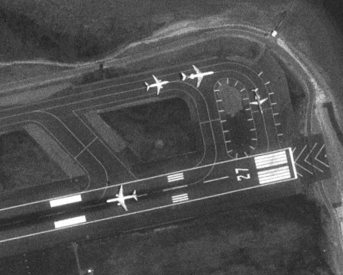
This picture is an example of a black and white aerial photo. These photgraphs are excellent tools for cartographers because these pictures give map makers a view of where boundaries exist, vegetation occurs, roads, intersects, and other views that aid in the us of map making. The picture above is that of Boston airports, and this black and white photo could help air traffic cartographers or the FAA give accurate information to pilots.
No comments:
Post a Comment